KevinpSB
Back to home
Birmingham to Worcester

The canal that cut across the Midlands

The Worcester & Birmingham Canal was built to give Birmingham a shorter route to the River Severn. Your photo shows the quiet modern face of that story: the pound between locks one and two at Diglis, just above the point where the canal reaches Worcester and the river.

Narrowboats in the pound between locks one and two at Diglis, Worcester
Photo: Kevin Phillips, pound between locks one and two at Diglis, Worcester, 15 May 2026. © 2026 Kevin Phillips.
1791Act of Parliament authorised the canal.
1815Opened throughout from Birmingham to Worcester.
30Miles between the River Severn and Worcester Bar.
58Total locks, most packed into the Worcestershire descent.

The Route

A canal journey from industry to river: Birmingham's wharves, long tunnels, the Tardebigge summit, and the fall into Worcester.

Gas Street BasinBirmingham terminus, separated for years by Worcester Bar.
King's NortonJunction country, tunnels, and water-control engineering.
TardebiggeThe summit and Britain's longest continuous lock flight.
Hanbury and Stoke PriorSalt, wharves, reservoirs, and rural canal industry.
Diglis, WorcesterBasins and broad locks connect the canal to the Severn. Diglis area history

How It Was Built

The canal looks peaceful today, but its construction was a long contest between water supply, money, engineering, and rival canal interests.

The plan

A shorter road to the Severn

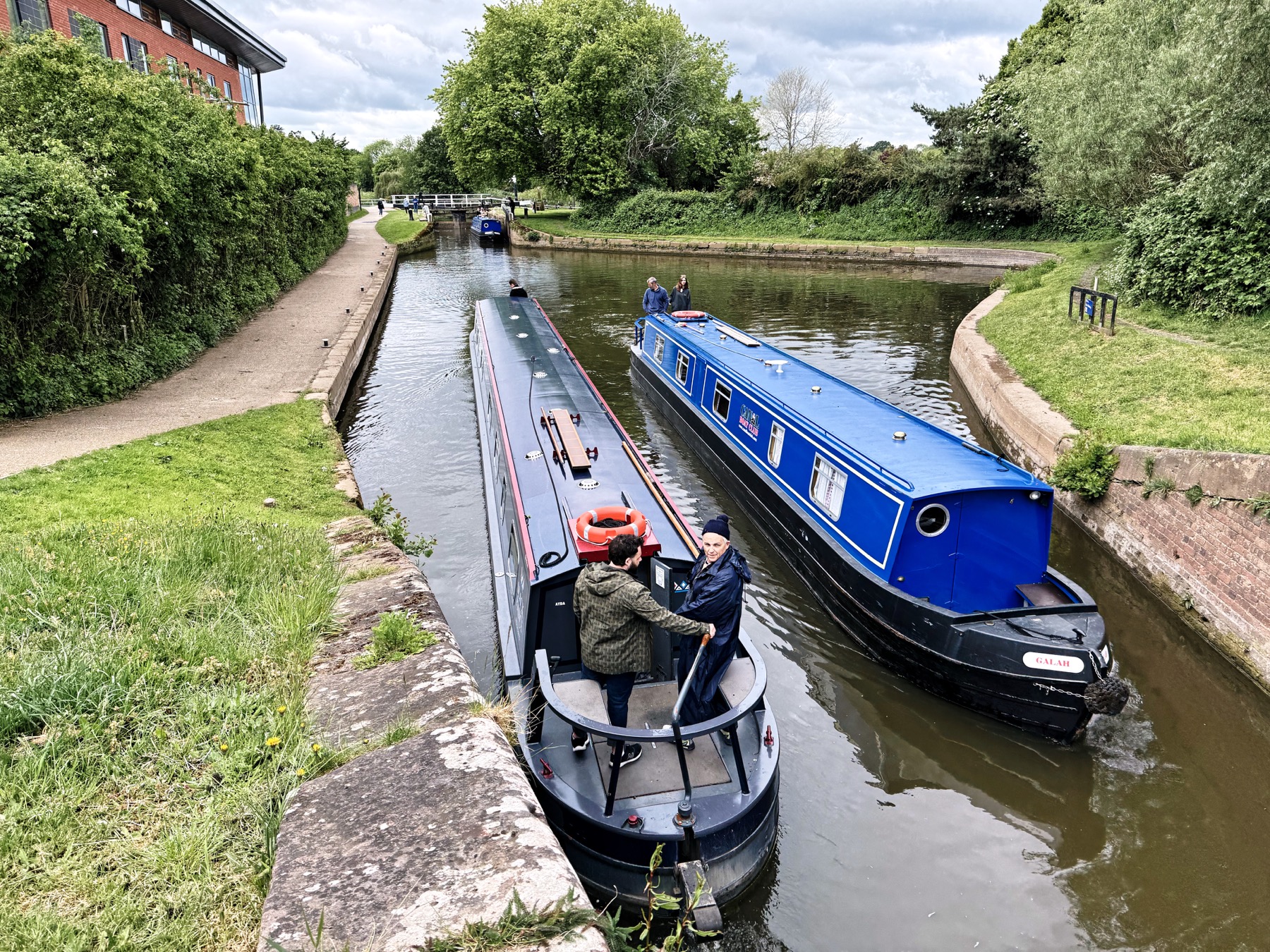
The canal was promoted to link Birmingham directly with Worcester and the River Severn, avoiding longer existing routes and giving Midlands goods a faster way towards the Bristol Channel.

1791
Slow progress

Building began from Birmingham

Construction moved south from Birmingham. The early design was for a broad canal, which is why the first tunnels were made wide enough for larger boats.

1790s
Water politics

Worcester Bar kept the canals apart

At Gas Street Basin, the Birmingham Canal Navigations resisted a free-flowing connection. Worcester Bar kept the waterways physically separate so water could not simply drain from one company to the other.

1800s
Engineering gamble

Tardebigge tested a vertical boat lift

The company worried about the cost and water use of the long fall towards Worcester. An experimental lift at Tardebigge worked briefly, but it was judged too fragile and replaced by conventional locks.

1808
Completion

The canal opened throughout

The full route finally opened in 1815. Financial pressure meant the southern section from Tardebigge to Worcester was built for narrow boats, even though the original ambition had been broader.

1815
Trade

Coal, salt, chocolate, and city industry

Traffic included coal for Worcester and canalside industries. Salt found while cutting the canal at Stoke Prior became important, and later chocolate crumb travelled between Worcester and Bournville.

1800s
Decline

Railways took the heavy trade

From the 1840s railway competition reduced canal business. The waterway survived ownership changes, nationalisation, and the end of regular commercial traffic in the early 1960s.

1841+
Today

Diglis is a leisure gateway

The working boats have mostly given way to narrowboats, walkers, cyclists, and heritage interest. At Diglis, two broad locks still lead down to the River Severn.

Now

Two Key Places

Open-source images help show the canal's two symbolic ends: the guarded Birmingham connection and the engineering challenge at Tardebigge.

Gas Street Basin and Worcester Bar in Birmingham

Worcester Bar, Birmingham

For years this barrier made boats transfer cargo across a physical divide rather than pass freely between canal companies.

Tardebigge Locks on the Worcester and Birmingham Canal

Tardebigge Locks

The long descent through Worcestershire is the canal's great piece of visible engineering, with 30 locks in the main flight.

Sources and Image Credits

The historical summary is based on Canal & River Trust, Inland Waterways Association, and National Transport Trust material. The Diglis photo is your supplied image; the additional images are Wikimedia Commons files.